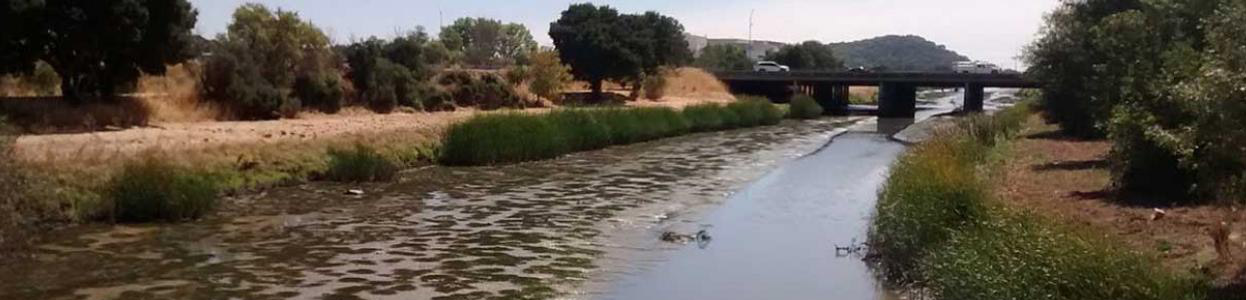
About 1.5 miles of creek bed had sediment excavated each year in 2008, 2012, and 2016 (every four years) from the Novato Fair Shopping Center creek crossing down to about 530 ft downstream of the SMART Railroad Bridge, including the lower reaches of the two tributaries: Warner Creek and Arroyo Avichi Creek. This sediment removal option is called “full sediment removal” and it is intended to improve creek hydraulic capacity and reduce flooding.
The District requested this analysis as part of planning sediment removal for the 2020 cycle. The purpose of this analysis is to evaluate the effectiveness of the following two different dredging limits scenarios in lowering the 50-year water surface elevation: 1) Full Sediment Removal Limits as described above and 2) Partial Sediment Removal Limits which only include creek reaches upstream of the downstream face of the Redwood Blvd Bridge.
This analysis built on an existing HEC-RAS 1D/2D unsteady-state hydraulic model for the Novato Creek watershed was originally developed by Schaaf &Wheeler in 2018. It was modified and used by Stetson for the recent Novato Creek levee evaluation project.
Resources
- Tech Memo – Hydraulic Modeling of Novato Creek Sediment Dredging Scenarios
- Hydraulic Evaluation of Novato Creek Levees (Stetson Engineers, 2019)
- Geotechnical Data Report, Novato Creek Levee Evaluation, (GEI, 2020)
- Geotechnical Evaluation Report, Novato Creek Levee Evaluation (GEI, 2020)
- Remedial Alternatives Report, Novato Creek Levee Evaluation (GEI, 2020)