Zone 5 was created in 1961 to address creek and tidal flooding in Stinson Beach.
It is small, covering 2.28 square miles of entirely unincorporated lands in the community of Stinson Beach. There are 921 parcels in the Zone.
The boundaries of the Zone and the Easkoot Creek Watershed closely align. The following tributaries join Easkoot Creek before it flows through Stinson Beach and out to the Pacific Ocean:
- Fitzhenry
- White Rock
- Black Rock Creeks
Watershed
Zone 5 is located within the Bolinas Lagoon watershed.
Work program
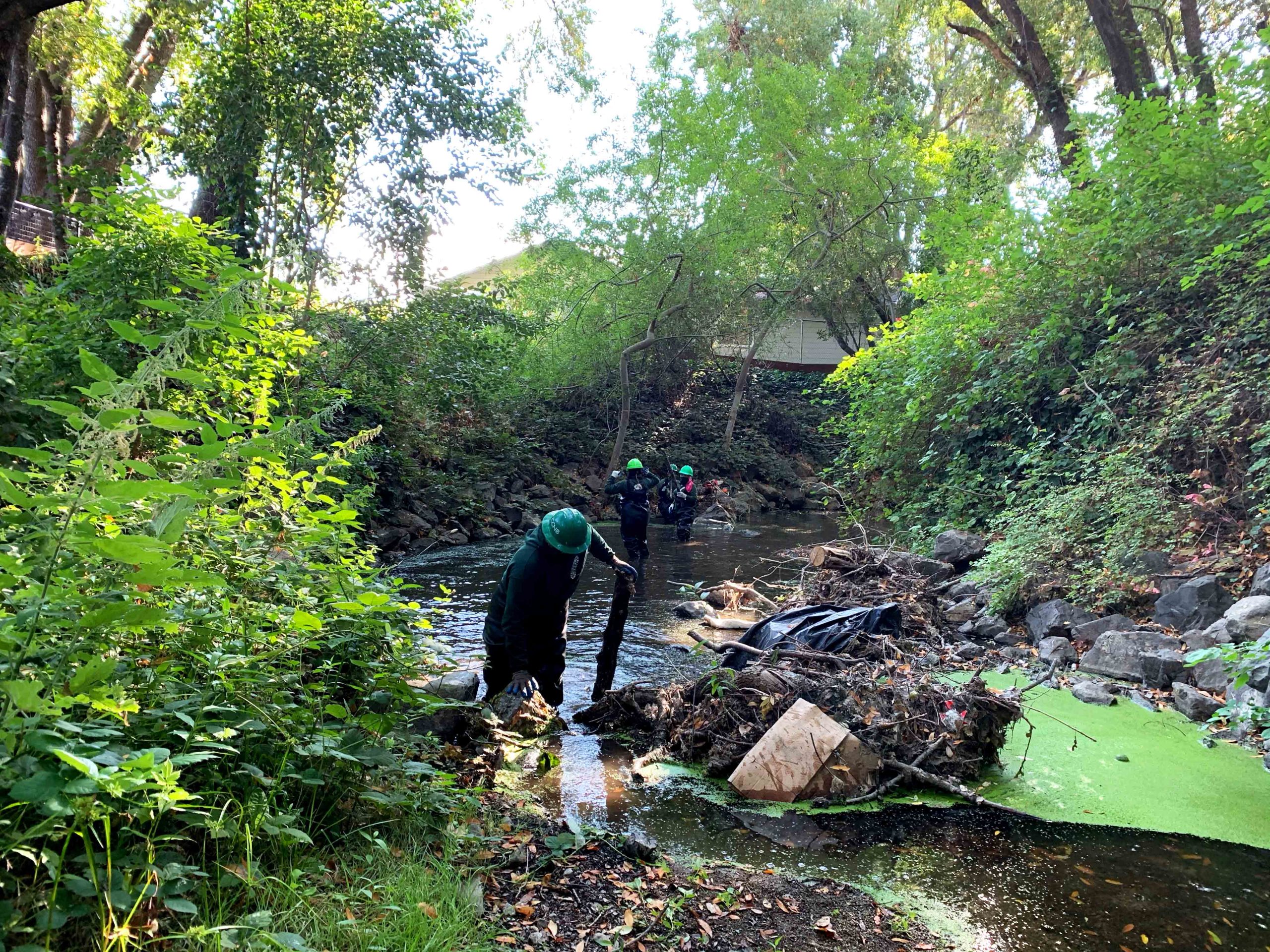
The Zone does not have pump stations or levees. The work program is limited to:
- Annual vegetation maintenance program along 0.25 miles of creek
- Periodic maintenance of a sediment basin
In the past, the Zone has periodically dredged Easkoot Creek. The active slide on Mt. Tamalpais releases quantities of hillside material that fills the creek. Current funding is no longer sufficient to do this work.
Zone 5 is overseen by a five-member Advisory Board.